Topsoil maps out salinization in coastal and polder areas
In the summer of 2017, the VMM investigates the salinization of groundwater in the coastal and polder areas. This investigation was carried out by helicopter as part of the European Topsoil project and resulted in new salization maps.
Share online


Topsoil is a project under the Interreg VB North Sea Region programme. The project aims to better protect the North Sea Region in the future against the effects of climate change. Many daily activities are inextricably linked to the upper layer of soil. Climate change, in fact, impacts the subsoil and the groundwater at an ever-faster rate.

Purpose of the project
The overall objective of the project was to conduct joint, interregional research into how we can make the shallow subsurface (top 30 m of the soil) more resilient to climate change. Many everyday activities are linked to the upper part of the soil.
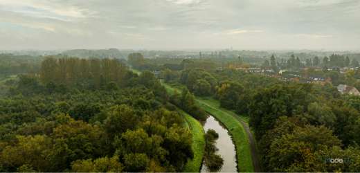
The practical implementation of the developed solutions took place in 16 pilot projects in different regions of the North Sea area. The VMM pilot project focused on the coastal and polder system and, more specifically, on saltwater intrusion and underground buffering of excess precipitation.
Topsoil in Flanders
In order to closely monitor the evoluation of freshwater lenses, it was necessary to map the current degree of salinization of the phreatic groundwater in the area. Subsequently, research was conducted into the extent to which local measures could increase freshwater availability in order to tackle the climate challenge.
The pilot project consisted of two main parts:
- mapping the distribution of fresh and salt water by helicopter;
- exploratory research into the potential for improving the availability of fresh water in the shallow subsurface.
Our polders naturally have salt water in the soil. Rainwater seepage has also created freshwater lenses. These freshwater lenses are scarce. The distribution between fresh and salt water was already mapped in the 1960s and 1970s. Fifty years later, we have mapped the degree of salinization again using specialized technology.

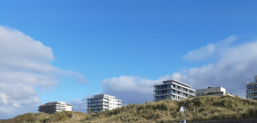
A helicopter flew systematically along lines 250 m apart. A hoop-shaped measuring probe measuring 30 by 11 meters was suspended from the bottom of the helicopter. The helicopter flew at a low altitude (65 m) so that the measuring probe was suspended 30 m above the ground. The speed was 30 to 60 km/h. By emitting an electromagnetic field, data was collected on the conductivity of the subsoil. From this research, the VMM derived the degree of salinization of the groundwater in the coastal and polder area from the French border to the Boudewijn Canal, the north of Meetjesland, and the left bank of the Scheldt.
New maps: good match with the previous ones
When comparing the new maps with the old map from 1960-1970, there is a good match between the old map and the new maps. The regional occurrence of freshwater lenses according to the old map is confirmed. There is therefore no indication of major changes in the salinization of the groundwater. The old map was drawn up using a different method and is based on fewer measurements than the new maps, so an exact comparison is not possible. The new maps are much more detailed and provide new insights into the location of freshwater lenses. These maps are used as a baseline for future changes and as a starting point for groundwater models and licensing.
New storage options: creek ridge infiltration
The new maps also form the basis for investigating the possibilities for underground water storage. Studies show that there is a shortage of water in the polder area during the summer, but a surplus during the winter. An interesting measure that our northern neighbors are already successfully applying is creek ridge infiltration. This involves infiltrating surface water into a creek ridge. These old, sand-filled sea channels lie as slightly elevated ridges above the surrounding polder area, making them very suitable for replenishing freshwater supplies. By mapping the possibilities for underground storage, we are contributing to more sustainable water management in the coastal region.

Potency maps
The new maps also form the basis for investigating the possibilities for underground water storage. Studies show that there is a shortage of water in the polder area during the summer, but a surplus during the winter. An interesting measure that our northern neighbors are already successfully applying is creek ridge infiltration. This involves infiltrating surface water into a creek ridge. These old, sand-filled sea channels lie as slightly elevated ridges above the surrounding polder area, making them very suitable for replenishing freshwater supplies. By mapping the possibilities for underground storage, we are contributing to more sustainable water management in the coastal region.
Project partners
- Belgium
- Flanders Environment Agency
- the Netherlands
- Waterschap Hunze en Aa's
- Waterschap Noorderzijlvest
- Provincie Drenthe
- Germany
- Bundesanstalt für Geowissenschaften und Rohstoffe
- Dachverband Feldberegnung Uelzen
- Landwirtschaftskammer Niedersachsen
- Landesamt für Bergbau, Energie und Geologie
- Leibniz-Institut für Angewandte Geophysik
- Oldenburgisch-Ostfriesische Wasserverband
- Landesamt für Landwirtschaft, Umwelt und ländliche Räume Schleswig-Holstein
- Universität Bremen Geologischer Dienst für Bremen
- Denmark
- Region Midtjylland (leadpartner)
- Region Syddanmark
- Herning Kommune
- Horsens Kommune
- Hydrogeofysik Gruppen, Geoscience Aarhus University
- De Nationale Geologiske Undersøgelser for Danmark og Grønland
- United Kingdom
- Rivers Trust
- Norfolk Rivers Trust
- Essex & Suffolk Rivers Trust
- Northumbrian Water Ltd.
- Durham University
Related projects